
01 / CAPABILITIES
Aerial Surveying
High-resolution aerial imagery and geospatial data acquisition for accurate planning, design and project monitoring.
Discuss this serviceWelcome to the future of geomatics..
T Sphere Geomatica delivers advanced aerial surveying, LiDAR, topographic mapping and GIS solutions that transform complex spatial data into accurate, actionable intelligence.
T Sphere Geomatica (Pty) Ltd is a South African geospatial solutions company specialising in aerial surveying, LiDAR, topographic mapping, GIS and related technical consulting services.
We combine modern survey technologies with disciplined data processing and practical industry knowledge to deliver dependable spatial information for planning, design, asset management and operational decision-making.
Our focus is straightforward: precise data, clearly communicated results and solutions tailored to each project's objectives.
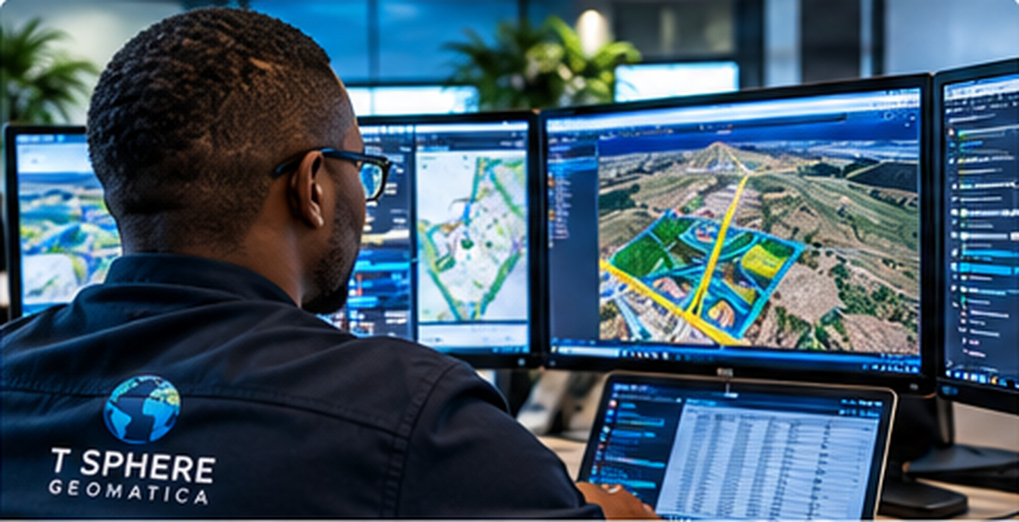
From initial data acquisition to decision-ready deliverables, our integrated capabilities support every stage of your project.
High-resolution aerial imagery and geospatial data acquisition for accurate planning, design and project monitoring.
Discuss this service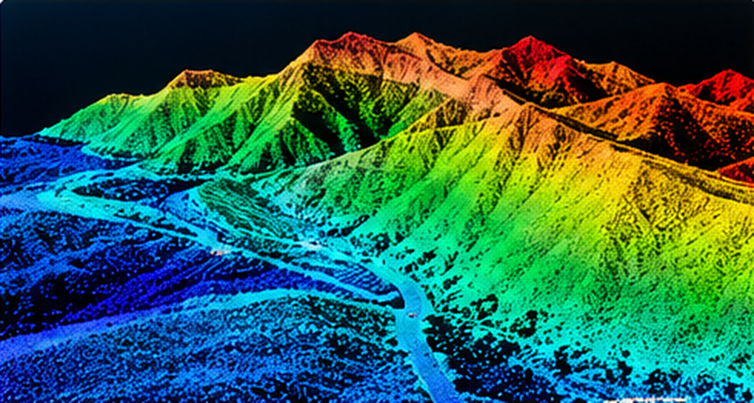
Detailed point-cloud acquisition, digital terrain models and surface models that reveal complex terrain and infrastructure.
Discuss this service
Precise terrain representation, contours and mapping deliverables to support engineering, development and land-use decisions.
Discuss this serviceIntegrated spatial databases, geospatial analysis and visualisation that turn location-based information into practical insight.
Discuss this service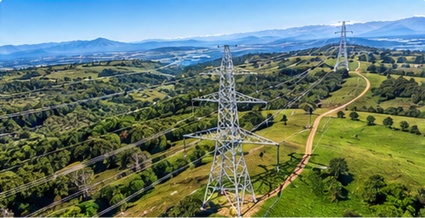
Specialised mapping and condition assessment for powerlines, transport corridors and critical infrastructure.
Discuss this service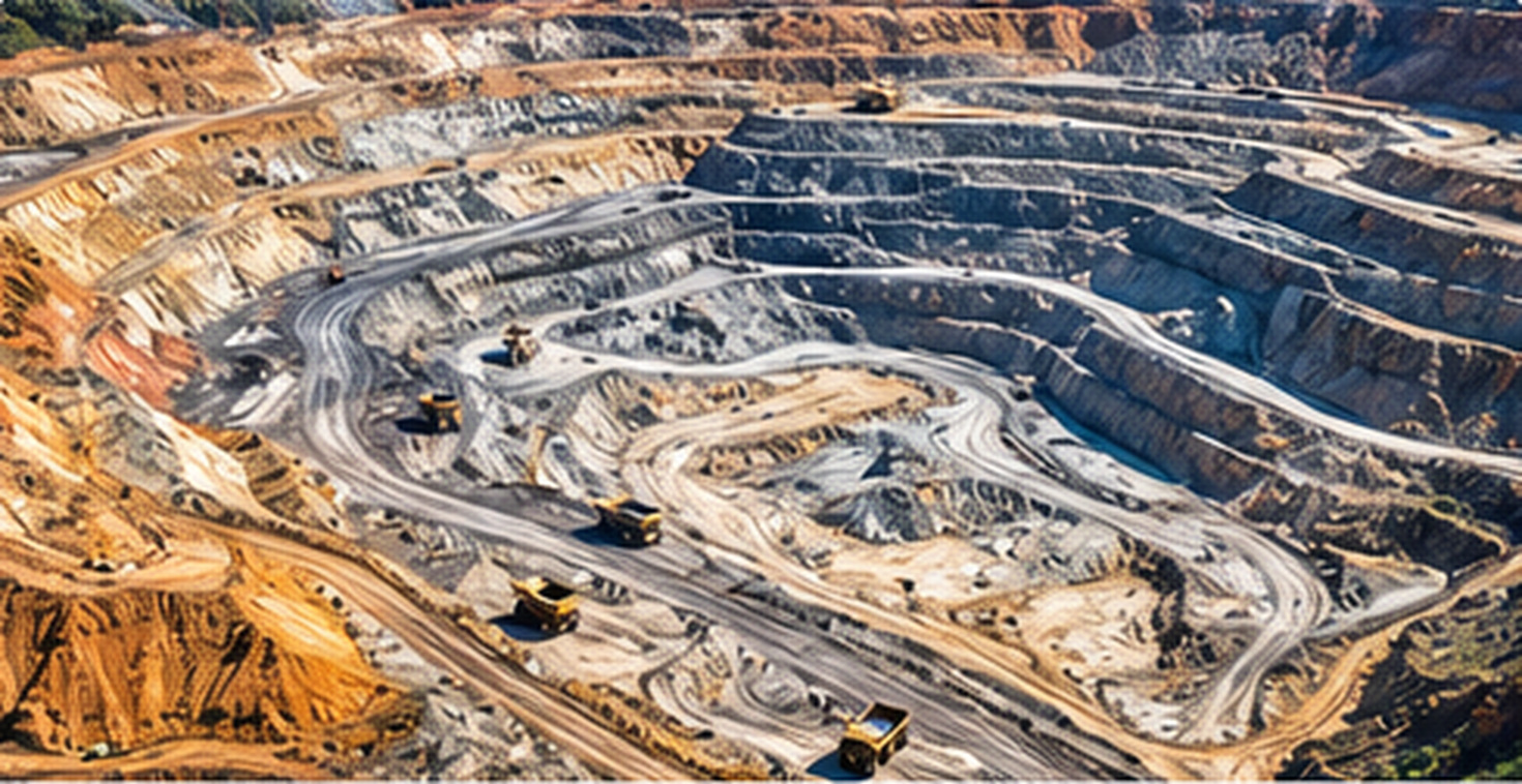
Reliable volumetric calculations, surface monitoring and survey intelligence for mining and material management.
Discuss this serviceOur geospatial solutions are designed to address the technical and operational requirements of a wide range of sectors.
Terrain intelligence, stockpile volumes and progress monitoring.
Powerline corridors, asset mapping and infrastructure surveys.
Accurate survey inputs for design and project execution.
Spatial data for land-use planning and development decisions.
Terrain mapping and location intelligence for land management.
Terrain assessment, monitoring and informed resource planning.
Tell us what you need, and we'll help you identify a practical geospatial approach.